nanoCAD25
Explore nanoCAD products used by thousands of designers and engineers across various industries such as mechanical engineering, building design, architecture, site design, and landscaping to streamline design, increase productivity, and improve document communications. Experience the full benefits of nanoCAD with a 30-day trial.
nanoCAD 25 Platform
nanoCAD 25 Platform is a professional-grade CAD platform fully compatible with the industry’s DWG standard. It offers the standard user interface with a wide set of tools for 2D/3D drafting that can be extended with modules specific to the needs of professionals in engineering, architecture, and construction.
Pro
nanoCAD Pro 3D is a professional 3D design solution designed specifically for engineers, designers, and manufacturers who require precise, efficient, and intuitive tools to create and edit 2D/3D objects with parametric constraints and dynamic UCS.
Construction Module
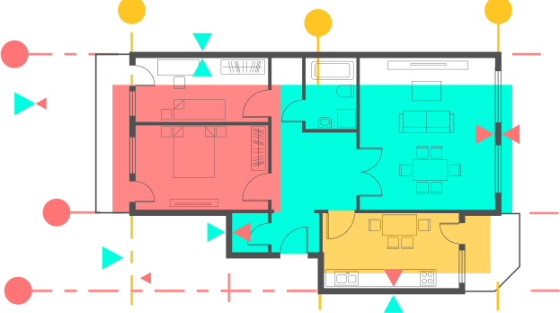
Construction module extends the nanoCAD platform with drafting utilities suitable for parametric designs in architecture, engineering, and construction. Its IFC support and parametric libraries of standard parts help automate construction drawings.
Mechanica Module
Mechanica module extends the nanoCAD platform with 2D and 3D mechanical design. Its parametric engine works with the included library of standard parts, and the many built-in calculators generate drawings quickly.
nanoCAD Max
nanoCAD MAX is a complete set of professional design tools based on the nanoCAD platform with support for the DWG standard.
Product Comparison
Check out the most important functionality of nanoCAD products and compare them with the functionality of alternative CAD systems.